Blaming the moose...

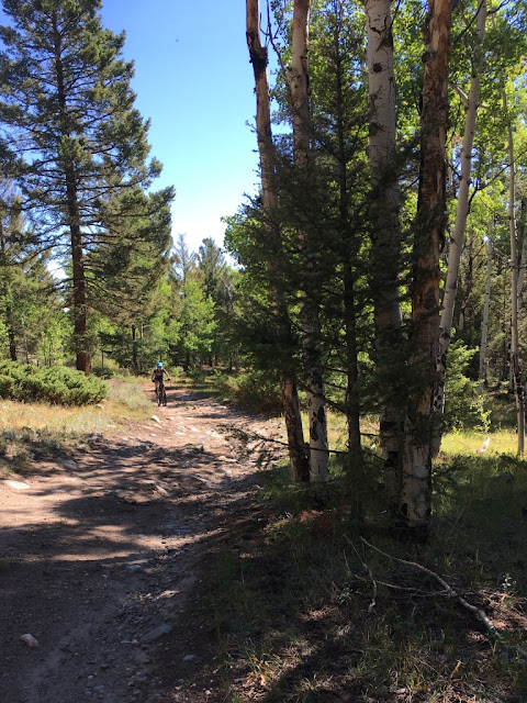
The loop seemed pretty straight forward when we looked at on the map. Leave the campground, cruise down 50 till County 210 and then head west(ish) until we reached the Little Cochetopa Trail. Then it was just shy of 4 miles of trail to the reach the Continental Divide, with maybe the last mile requiring some hike-a-bike. Even the trail looked pretty clear cut - stay north of the creek for halfway, little jaunt to cross the creek twice, then climb up out of the marshy area before the push to the pass. Once at the summit, fly down to the Monarch Crest Trail just before Agate Creek and then ride north to Greens Creek. From there it was all downhill until we reached 50 again to return to the campground. At least that's what it looked like on the map... Pedaling up 210 - not a bad start to the ride! It was that simple for the 10 miles. The county road was easy pedaling despite the gradual climb. Even when it turned to a forest service road, it was still pretty smooth pedaling. A ...