Tabeguache Trail FKT Attempt
As I’ve hinted before, I’ve had a big project in the works for the last two years - since I moved to Grand Junction actually. There are two long trails leading out of GJ - the well known and well traveled Kokopelli Trail and the far lesser known and rarely traveled Tabeguache Trail. While I originally had my eyes on the Kokopelli Trail, I found myself getting drawn to the Uncompaghre Plateau and the mystery of the Tabeguache Trail. Digging in a little more, I discovered that there was not FKT established for Tabeguache. There wasn’t even a route on the FKT website! As the third leg of the Grand Loop, it was surprising that there wasn’t a route established. There was a route for Kokopelli leading from Fruita to Moab, the Paradox Trail from Moab to Montrose, yet nothing for Tabeguache. Between my attraction to the trail and the terrain it traverses and the potential to be the first person to attempt a thru-run of the Tabeguache, that became my focus. Build out my map and refine the GPX track. Establish the route on the FKT website. And finally, make good on the promise of thru running the 148 miles between Montrose and Grand Junction.
 |
| The starting point - the Dry Creek Trailhead in Montrose |
I spent most of 2021 when I wasn’t training for Silverheels studying the available maps I had and monitoring the weather between Montrose and Grand Junction. We made multiple trips to the Plateau to check conditions and see how busy the trail and surrounding roads. I studied the hunting seasons, monitoring what game was hunted when and how. I reached out to resources regarding bugs and snow levels.
And the date has been (tentatively) set. Of course, the exact date will be determined but weather and air quality conditions…. Everything I do between now and August will be leading up to this one dream, this one trail. Why August? When the climb out of Whitewater might still soar into the high 90s? Why not later in the year when it’s cooler? Or earlier before the heat strikes?
The Divide Road opens for vehicles on May 15 on a good year - with the spring mud season still in play. It didn’t actually open until late May this year, making planning for a May trip problematic. You need the Divide Road to be open to allow for support, or even catching supplies. Come June, things may be dry, but the trail might be blocked with blow downs. The bugs could be horrendous if it’s a wet year. And as was shown this year, the triple digit days can happen in June. That early, there’s no acclimatization time to prep for the heat.
 |
| Nearing the end of the trail |
July tends to be the hottest month of the year, with warm nights and triple digit temperatures. There’s long days and short nights, ideal for something taking more then 24 hours. But as with June, there’s not much time for heat training and acclimatization. The high point on the trail is almost 10k feet, but there’s plenty of time spent much lower in the full desert. Thinking of making a thru-run attempt under full summer heat didn’t seem smart. September would be ideal, with cool but not cold nights and less likely hood for extreme temps. But the plateau is a renown hunting destination and on one of our scouting trips, there were SO MANY people up there. I don’t want to deal with that. And hunting season stretches until the end of the year, when the road closes again.
 |
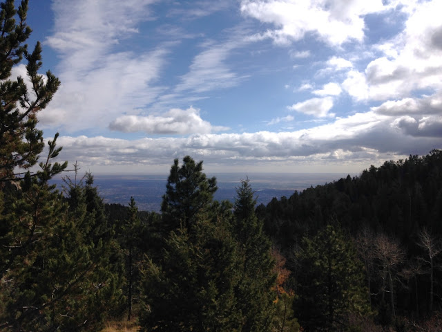
| View from the Roubideau Segment |
So August it will be. I will have to deal with the heat in some manner, but I will have time to acclimate to the heat. We will still have long days, but not like June. The nights will be cooler then July. Now comes the hard part - watch the weather and try to pick the perfect weekend in August!


Comments
Post a Comment